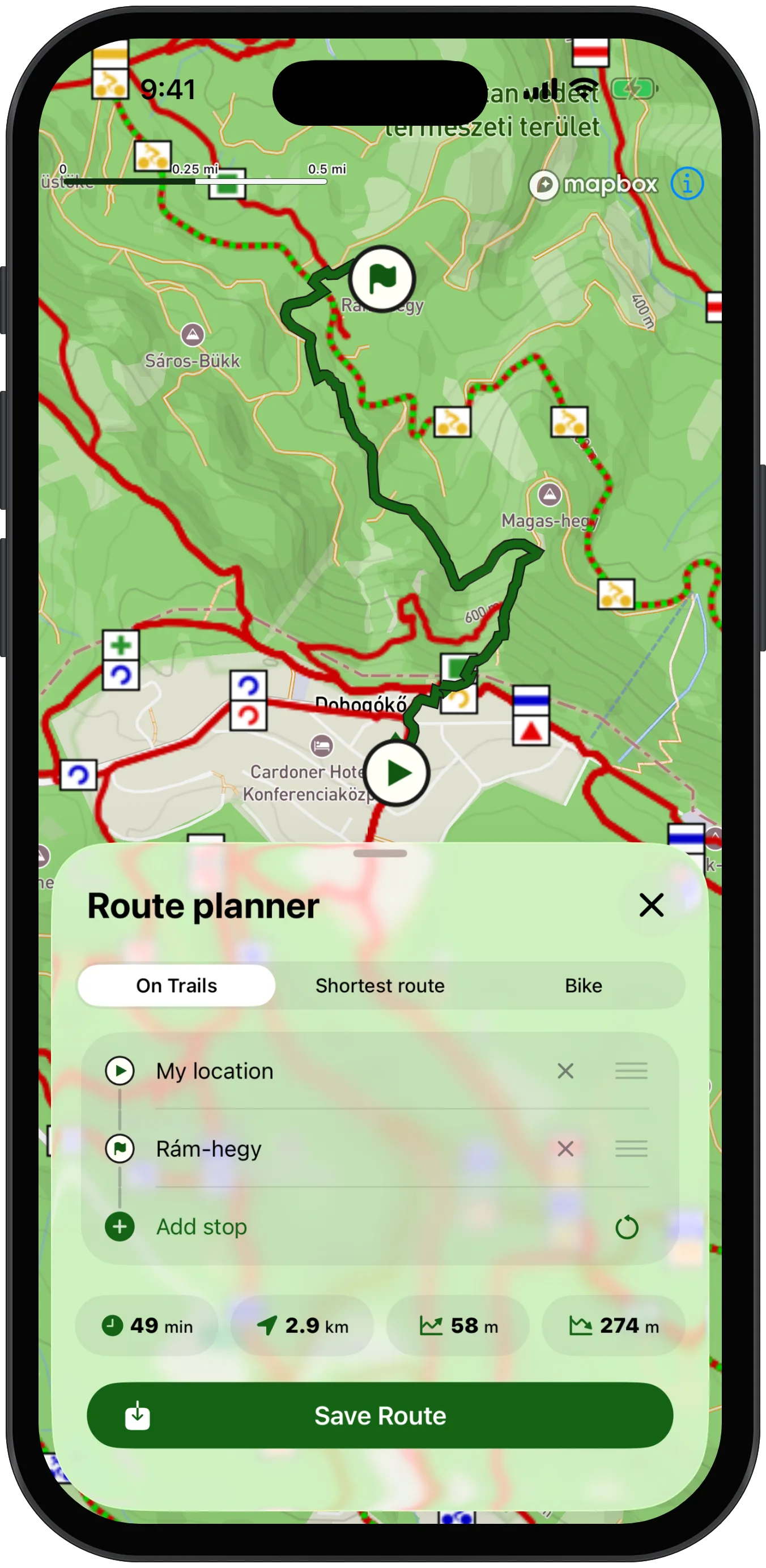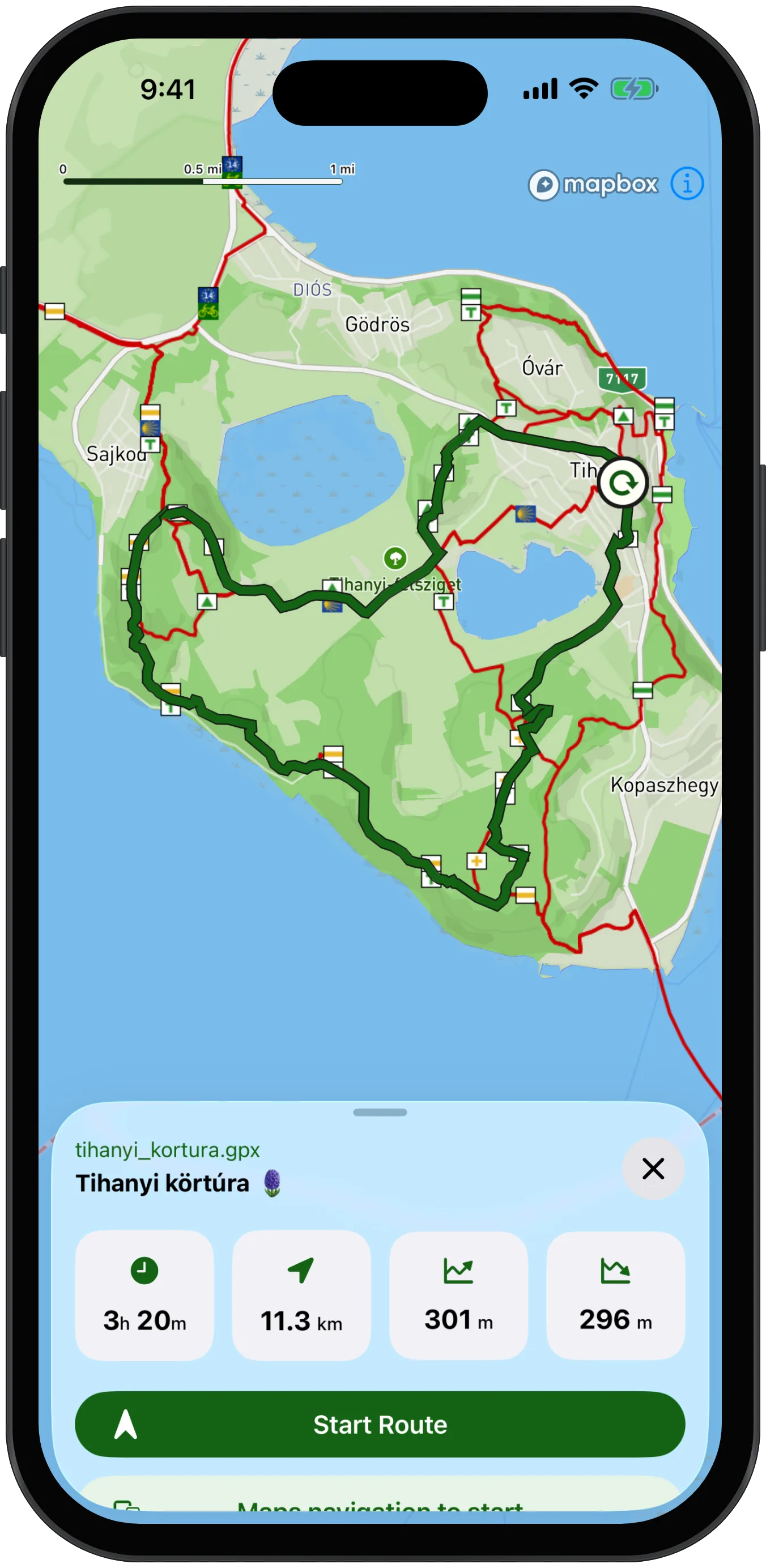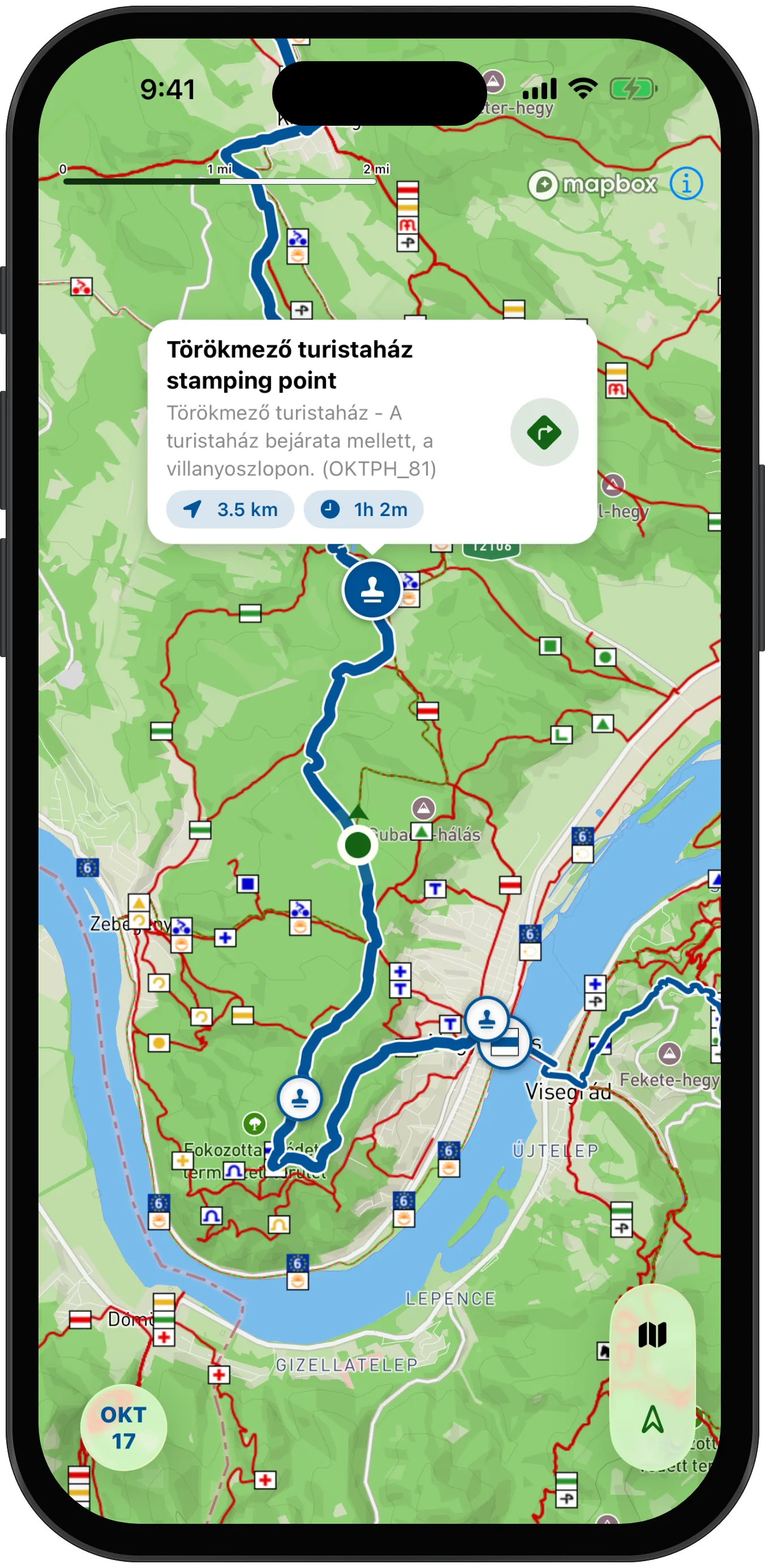

HuKi is a mobile app for outdoor enthusiasts, built around Hungary's hiking trail markers. Its goal is to promote the exploration of Hungary's natural beauty while being a helpful companion on our adventures. HuKi is free, ad-free, and open-source software, built and maintained by a single developer in their spare time as a hobby project.


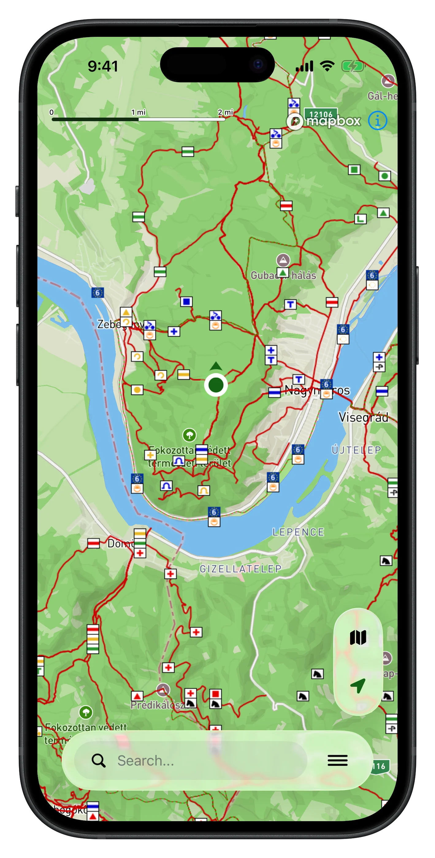
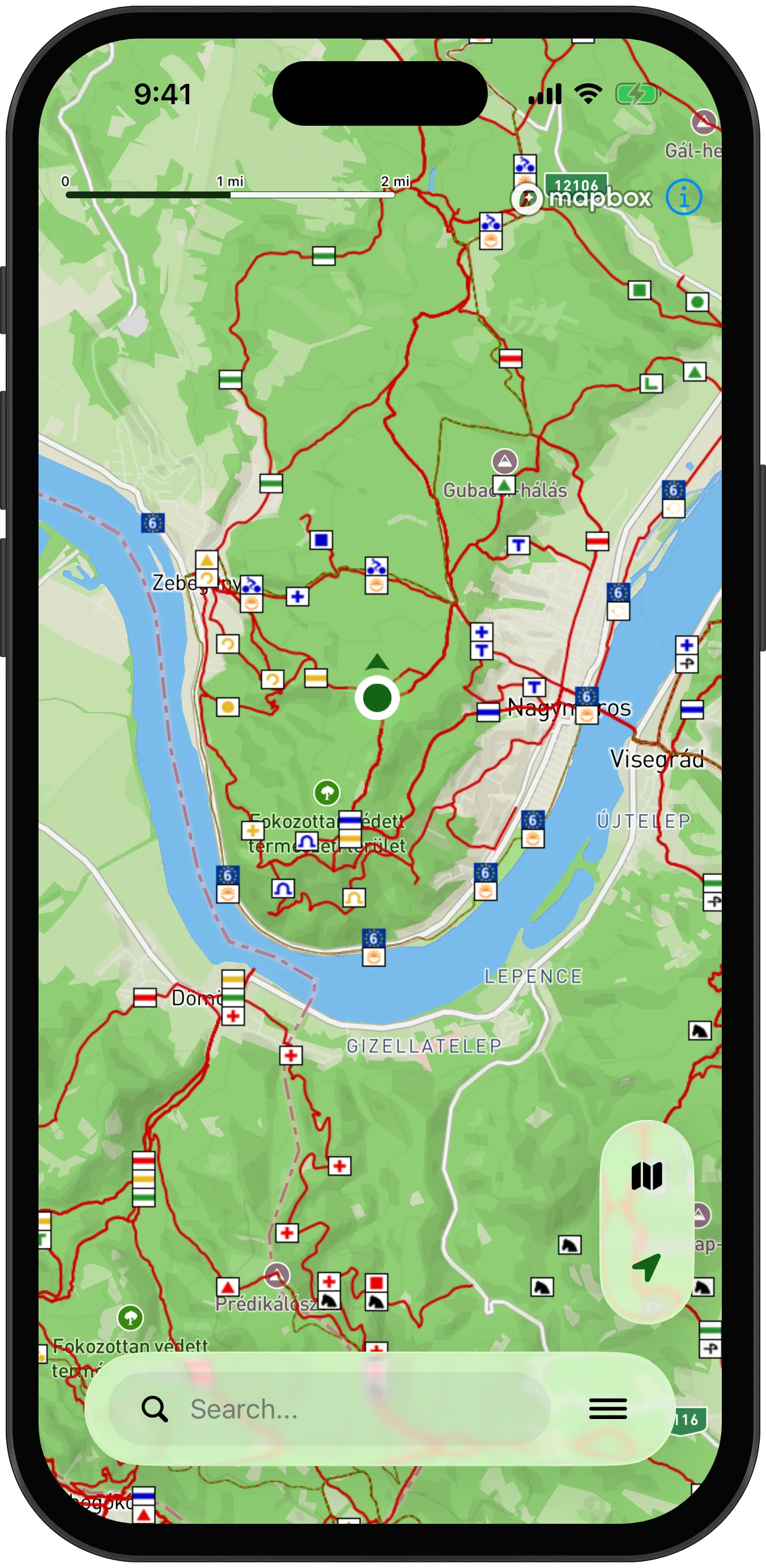
The application uses the Hungarian Hike layer with the national hiking trails, which is integrated with the base map.
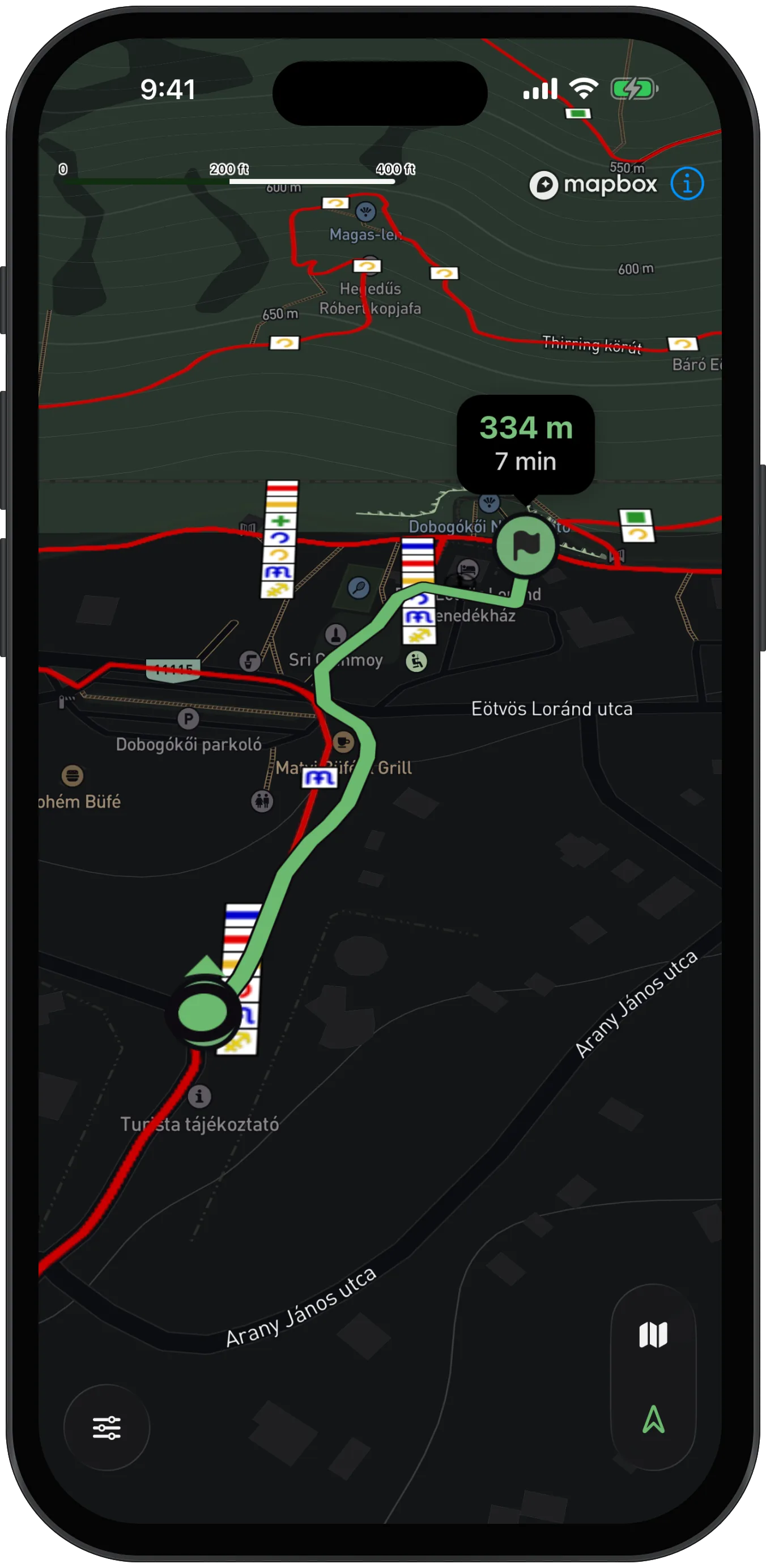
In navigation mode, HuKi follows your position and continuously shows the remaining distance and walking time to each stop.
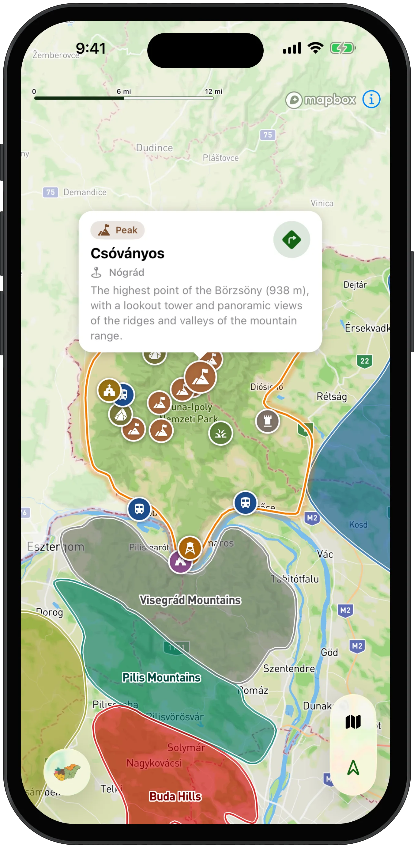
HuKi shows the hungarian landscapes on a map view, with their associated popular excursion places and hiking collections.
I especially appreciate personal feedback – if you have an idea or run into a bug, feel free to get in touch!